1
 →
→
🗺️ Generate City 3D map with R3F. Include building and road information.
cartesiancs/map3d is an open-source project on GitHub, mainly written in TypeScript. 🗺️ Generate City 3D map with R3F. Include building and road information. It currently holds 2,569 stars and 418 forks with 5 open issues, and was last pushed on 2026-05-13 (repository created 2025-02-23).
Git Homed tracks it on the Today's Trending board, currently at rank #100 with 27 new stars today.
Generate a real world 3D map
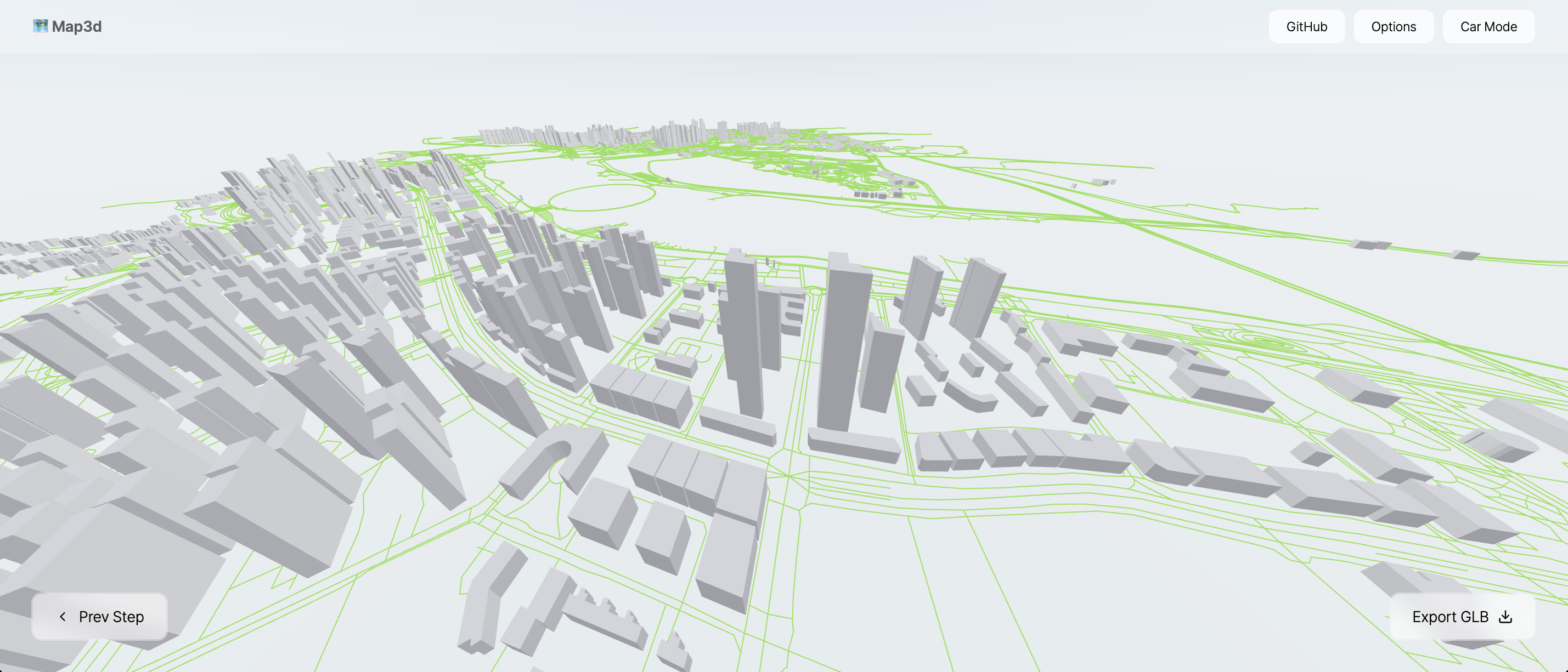
This is a 3D building mapping service implemented with React-Three-Fiber. It allows exporting as a GLB file, and all features are free to use. Based on this project, various functionalities such as digital twin, drone surveying, and GPS markers can be implemented.
The map files are based on OpenStreetMap data.
[!IMPORTANT]
📢 This project cannot guarantee the accuracy of the data. Since it uses OpenStreetMap data, some height values may be missing or incorrectly recorded. To address this issue, an option will be added in the future to allow users to manually correct the data.
https://github.com/user-attachments/assets/1b61c2f8-dcf9-40bb-9804-59f6a74594dc
Hyeong Jun Huh (GitHub)
MIT License
→ →
→ →
→ →
→ →
→ →
→ →
→ →
→